Are you thinking snow?
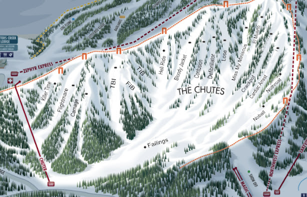
If you or some skier you know have been a casualty of the winter hype around this weeks "storm" I'm here to clear things up. Make no mistake... there are some changes coming... the High pressure ridge that has been stationed off our coast for the last month has retrograded West enough to allow some North Pacific and tropical energy in to the West Coast. However, don't expect much here in our neck of the woods. Although we may pick up some snow on the East side of the Carson Range, much of the energy will be South of 50. When I say "pick up" I mean an inch to several, thats about it. It will not be the wet slop we like this time of year to make a nice base either. Snow levels will drop making for drier snow unfortunately. All is not doom and gloom however, the mercury will drop enough perhaps for some snowmaking to occur on Mt. Rose so they can work on KC a little more and the connection to Lakeview or NW which would delight many a skier I know. The long range is not looking too good though really.
Daniel Swain of Weather West shared a graphic that showed just how dry the entire West is right now that I shared in this post. Not much is forecast to change with the exception of a some snow near Thanksgiving and a possible larger pattern change when we get into December that could really do something. But... take everything in stride, as our friends over at: www.tahoeweatherblog.com always warn us to beware the long range... Mother Nature is in charge! For more weather info please check out their blog. He is local here at the base of the Carson Range and has his fingers on the weather pulse and tells it like it is. Unlike the weather guru's at your local network... he is not trying to create weather headlines to sell advertising.
Sven


Comments
Post a Comment